The Cost of Not Knowing
Every day without geospatial intelligence is a day of missed opportunities, delayed responses, and uninformed decisions.
Last check: 8 days ago.
End-to-End Geospatial Solution
From accessing satellite data to generating actionable insight and monitoring changes in real time, our platform empowers smarter decision for a better world
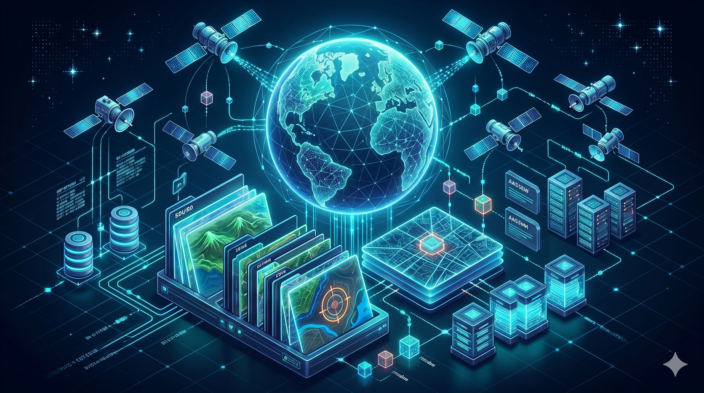
Data Hub
Access & Order Satellite Data
- Order satellite imagery
- AOI management
- Data catalog & archive
- API access
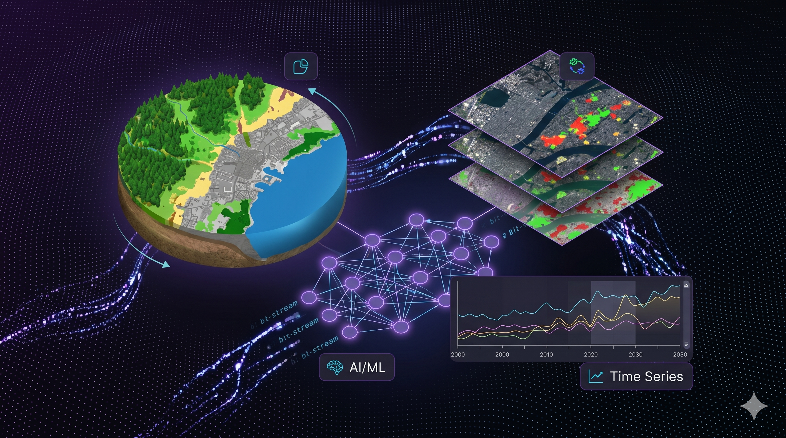
Analytics
Transform Data into Insights
- Land cover classification
- Change detection
- Time series analysis
- AI & machine learning
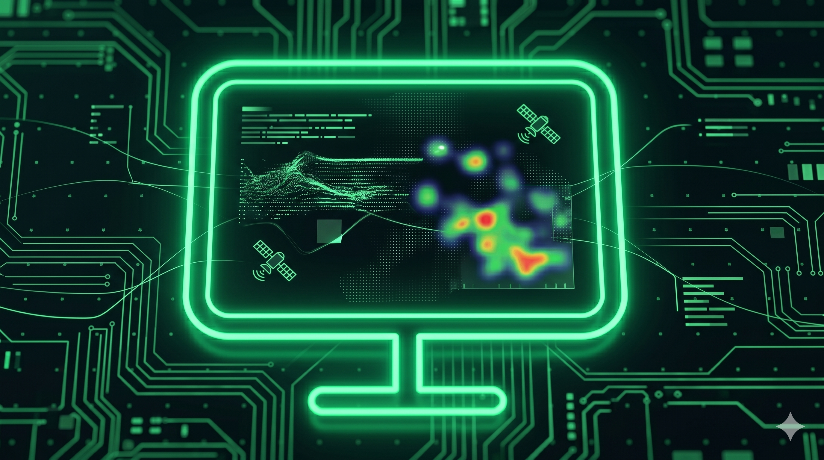
Monitoring
Monitor Changes in Real Time
- Crop monitoring
- Deforestation tracking
- Mining activity detection
- Alert & notification
The Spectrum of Satellite Images
Satellite Images have numerous applications in a variety of fields

Disaster
Satellite monitoring enables early warning systems for floods, wildfires, earthquakes, and other natural disasters to support rapid response.

Oceanography & Fishing
By measuring sea temperatures and monitoring marine ecosystems, satellite imagery supports sustainable fishing and reveals vital insights into ocean health.

Agriculture
Assess crop health, monitor field conditions, and optimize land use with multi-spectral satellite data to boost yield and reduce agricultural risk.

Mining
Track mining activity, detect illegal operations, and monitor environmental impact across extraction sites with high-resolution satellite imagery.

Forestry
Satellite data empowers forest managers to monitor deforestation, track forest health, and protect critical ecosystems.

Landscape
Analyzing land use patterns with satellite imagery helps urban planners and environmental agencies make informed decisions.
The central nervous system for your spatial data.
Automatically ingest, catalog, and query petabytes of raster and vector data with millisecond latency.
- Auto-cataloging
- S3 / GCS Integration
- Vector Tile Generation
Build and deploy custom AI models directly on your data.
Run inference at scale without moving data out of the hub.
- Custom Model Training
- Distributed Inference
- Jupyter Notebooks
Set up autonomous agents to watch the world for you.
Get instant alerts when changes are detected in your area of interest.
- Planet API Sync
- Change Detection
- Webhook Alerts
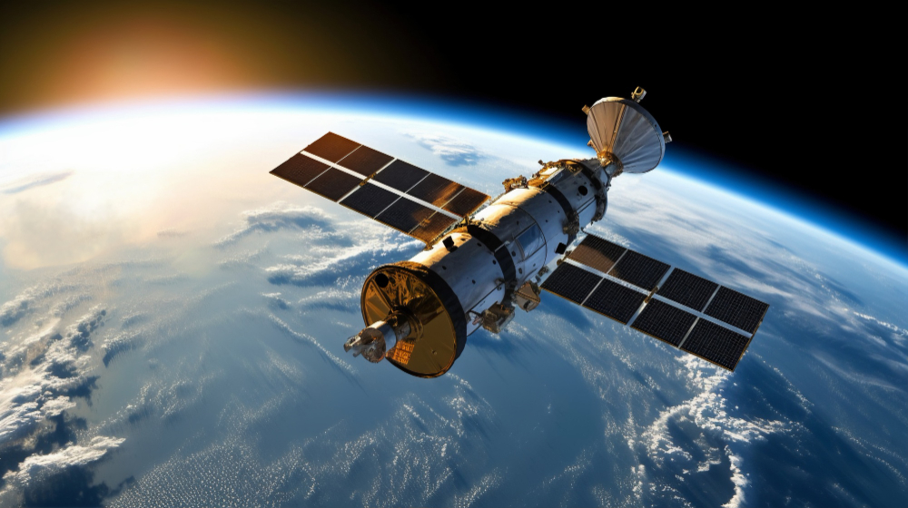
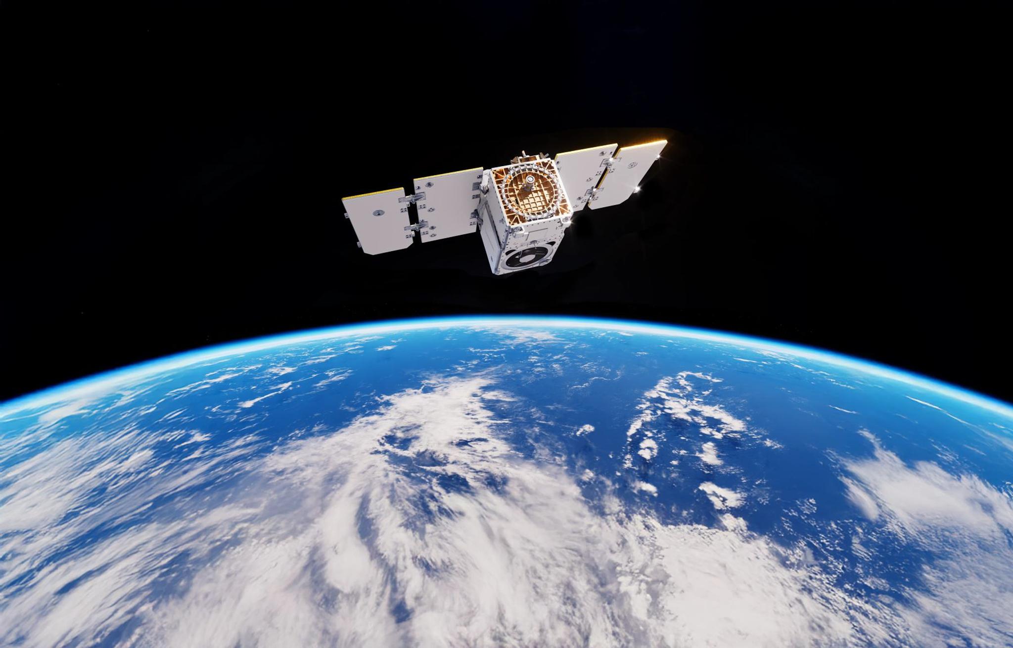
High-Resolution
Satellite Imagery
Access the world's most comprehensive archive of Earth observation data. Stream petabytes of optical, radar, and hyperspectral imagery directly into your workflows.
Seamless integration with leading providers
Ready to deploy?
Join the leading enterprises building the next generation of location-aware applications with BSK Geospatial.